


Coastal scan site launched
 Print
Print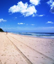 The NSW Government has opened up access to 3D maps of coastal areas.
Highly detailed digital maps covering 6,800km of the NSW coastline are now available to the public with the launch of the Seabed NSW 3D map viewer.
NSW Minister for Local Government Wendy Tuckerman says the high-tech, high-resolution images allow anyone to examine and visualise the sea floor in detail previously not possible.
“NSW Coastal Councils rely on highly detailed and accurate data to produce their Coastal Management Plan’s (CMP’s), and this advanced imaging provides cutting-edge information to support the science-based assessment,” Ms Tuckerman said.
“Ensuring the long-term health of our coasts and estuaries for future generations is what these programs are all about, so I’m thrilled to publish this detailed data to anyone who needs it. We all benefit from greater understanding of our local environment.”
Minister for Environment James Griffin said laser scanners mounted on planes were used to reveal the hidden detail beneath the waves by coastal and marine scientists from the Department of Planning and Environment (DPE).
“This fascinating data can now be used by councils and the public to see the sea floor, reefs, rip channels and ancient rivers in extremely high detail up to depths of 35 metres,” Mr Griffin said.
“These maps provide important insights into seafloor habitats, which will ultimately help us better manage ecosystems into the future.”
The mapping project was funded through the NSW Government’s $83.6 million coastal reforms funding package from 2016.